What are LIDAR Scanners?
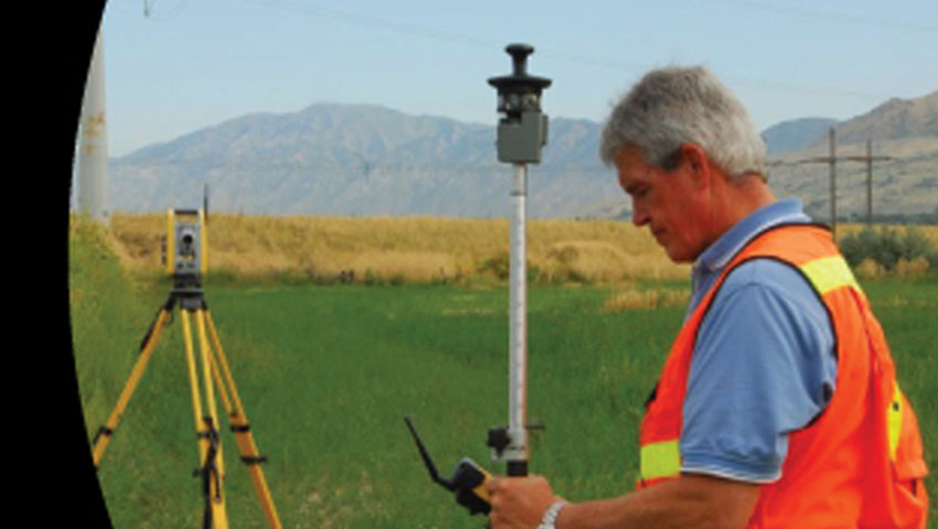
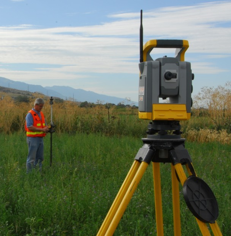
High Definition Scanning involves using LIDAR (light detection and ranging), which is a form of technology that collects a million points in just a few seconds. The collected points are used to create a point cloud of your project. The process involves lighting up an object with a laser, and analyzing the light that is reflected. By doing this, the surveyor is able to measure the distance between the laser and the object; you can then generate a high-resolution map of the target area which can be used in future projects.Boundary Consultants Professional Land Surveyors uses LIDAR scanners in their engineering surveys in order to provide the best quality maps available in the industry. We believe that maps should be designed with the user in mind, and our years of experience allow us to do just that. Ask us if high definition scanning is right for you and your project.