How much will my survey cost and why will it cost that much?
There are many factors that come into play during a survey. These factors include things such as terrain, foliage, old recorded documents, date of last survey, disturbed or missing property corners, size of tract to be surveyed and the scope of services required to name a few. Before pricing or quoting a survey a look at these and other factors should be taken to insure an accurate price is given. Be upfront with your surveyor and let them know what you expect as a final product and the services you expect to receive during the survey process. Each surveyor will price or quote a job differently but should be able to advise clients in regards to expense.
Why do I need a survey?
Property and homes are generally the largest investment most people make. A landowner should have a survey of their property completed to insure they are buying and getting what was advertised. A landowner should also know where their property boundaries lie in order to protect their property from encroachments and trespassing. Too many times people opt out of the option for a survey and end up with legal and or personal issues.
How long is a survey good for?
Surveys are used in the preparation of legal documents such as deeds, easements, agreements, etc and the results of a survey are often time reflected on a plat or map. These records may transfer land for many years and are often times the only source for finding the true and original location of property corners. This alone assures that surveys are good for a long time if not forever. Many times old plats or maps are used by current surveyors to retrace old boundary lines. Many people will only have their property surveyed once but may refer back to their documents for many years.
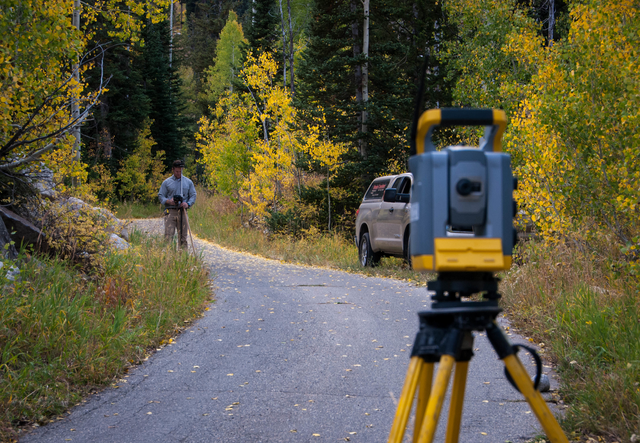
Do you survey with GPS and use satellites?
Yes. Many surveyors use the Global Positioning System (GPS) to locate boundaries and other things needed in order to perform a survey. GPS is a great tool to have and use, however the cost and the limitations of the equipment keep it from totally replacing the other equipment surveyor’s use every day.